Skip to content
GGoLearnToTravel home with a skill

commercial spoke

Urban walking and observation in Tangier

Choose a Tangier urban-learning walk by exact Medina, Kasbah and central route, observation prompts, guide, surfaces, permissions and city boundaries.

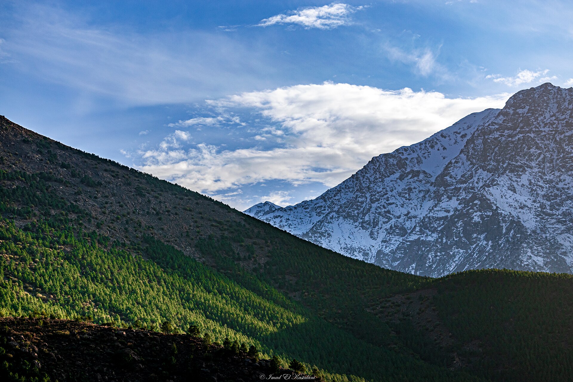
Atlas Mountains seen from Imlil, shown as terrain and place context
Editorial context · Imad.kastalani · CC BY-SA 4.0

Salam from Tangier

Why the place matters

Tangier faces Morocco, the Mediterranean and the Strait at once. Good learning here enjoys more than one point of view.

A Moroccan minute

Check the route, kit and turnaround plan. Bravado is surprisingly heavy to carry uphill.

Useful first. Memorable second. Ideally both.

Place–skill evidence

Why this skill belongs in Tangier

Read Medina, Kasbah and central-city transitions through a bounded route while keeping Cap Spartel, Tanger Med and other places geographically honest.

Tangier MedinaKasbahGrand Socco
Open the complete place hub
Provider evidence
HOLD
Sources checked
3
Last reviewed
14 Aug 2026

Other qualified skills in this place

Your learning plan

What a good urban walking and observation experience in Tangier should feel like

Read terrain, pace and conditions with more confidence while keeping technical risk inside the guide's real qualification.

The honest outcome

A field method, stronger judgement and a realistic understanding of the next level.

01

What you should practise

  • Plan a route and check conditions
  • Use pacing, movement or navigation skills
  • Review decisions and changing hazards

02

A sensible session

  1. Route, kit and ability briefing
  2. Field practice with decision points
  3. Debrief and next-level boundary

03

Compare before enquiring

  • Guide qualification and route scope
  • Weather and turnaround rules
  • Transport, equipment and emergency plan

A little Moroccan honesty

A guided walk, ski outing or summit attempt has different technical demands. The page must not borrow authority from a qualification that does not cover the activity.

Local signals

Tangier Medina · Kasbah · Grand Socco

The place–skill fit is evidenced; provider verification is still open.

Tangier works as an urban-learning walk when the route has a question: how Kasbah meets Medina, how Grand Socco marks a transition, how port or international histories shaped central space, or how visual and craft activity occupies the city today.

Keep the map honest

Tanger Med is a separate port complex. Tangier Ibn Battouta Airport is an arrival point. Cap Spartel, Hercules Caves, Asilah, Tetouan and Chefchaouen are outside the central city route. A Tangier pickup cannot pull them into the Medina.

Provider HOLD

No walking provider has yet cleared the route, guide and interpretation gate. A generic city tour is not enough; the learner needs observation prompts, evidence and time for questions.

What to verify

  • Named guide, meeting point and end point
  • Exact Medina, Kasbah and central-city route
  • Observation prompts and sources used
  • Distance, duration, slopes, stairs and rest plan
  • Current museum or studio access
  • Privacy and photography boundaries
  • Toilets, weather fallback and accessibility
  • Explicit alcohol-free route and inclusions
  • Current group size, date, price and cancellation

Return to Tangier, deepen the route with history and museums, or use food interpretation for a supplier-led route.

Evidence

Selected references

Official and institutional references used for place, heritage or practical context. Commercial operators and marketplaces are kept in our private research ledger rather than promoted here. Reviewed 14 August 2026.

  1. Moroccan National Tourist Office

Continue on GoLearnTo

Related places, skills and field guides

Keep exploring

More places and learning ideas