Skip to content
GGoLearnToTravel home with a skill

commercial spoke

Interpreted walking in the Atlas Mountains

Choose Atlas walking by High, Middle or Anti-Atlas base, named route, guide role, interpretation loop, live conditions and local benefit.

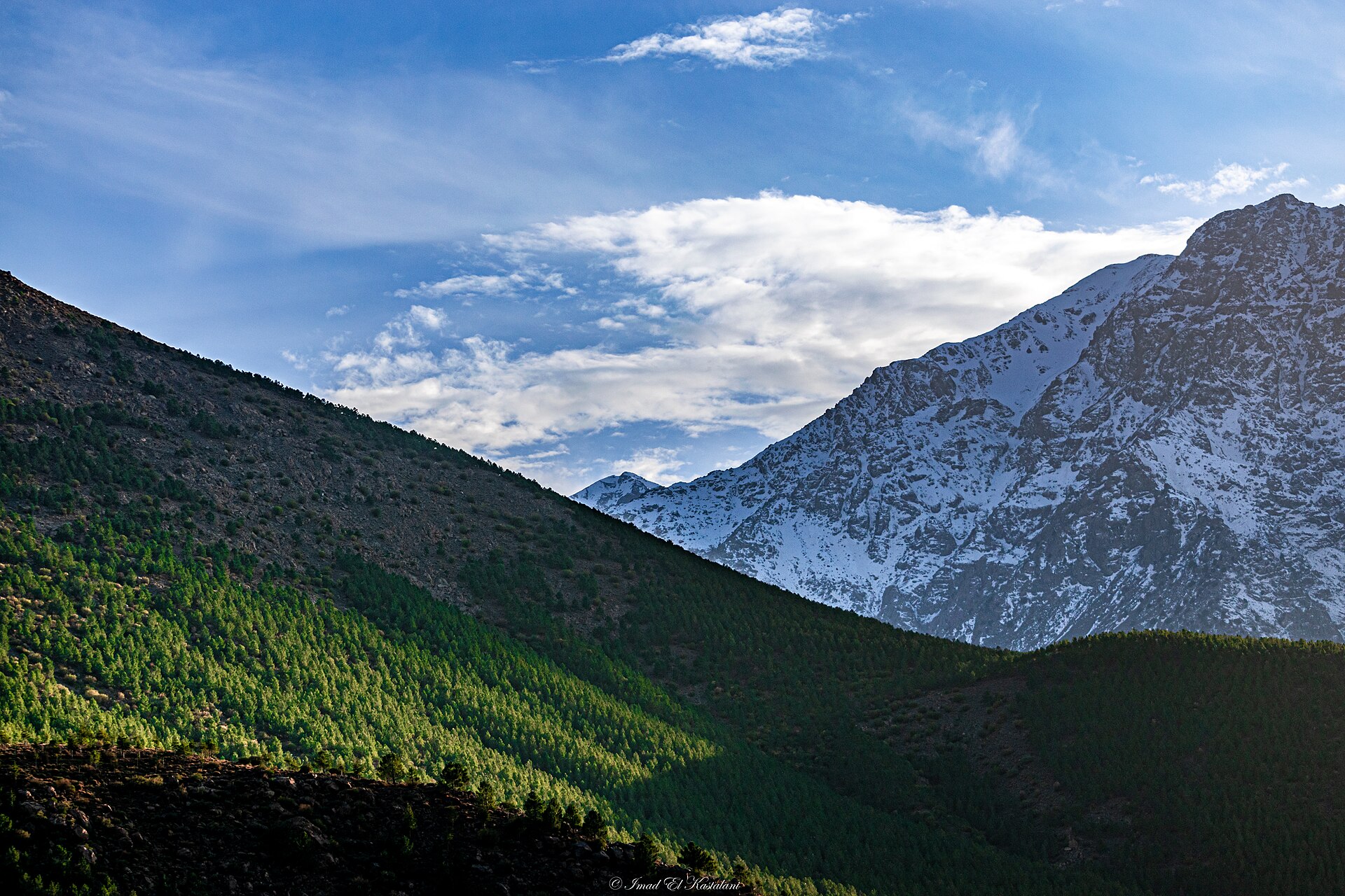
Atlas Mountains seen from Imlil, shown as terrain and place context
Editorial context · Imad.kastalani · CC BY-SA 4.0

Salam from Atlas Mountains

Why the place matters

In the Atlas, weather and terrain join every lesson. They are strict teachers, but very fair ones.

A Moroccan minute

Check the route, kit and turnaround plan. Bravado is surprisingly heavy to carry uphill.

Useful first. Memorable second. Ideally both.

Your learning plan

What a good interpreted mountain walking experience in Atlas Mountains should feel like

Read terrain, pace and conditions with more confidence while keeping technical risk inside the guide's real qualification.

The honest outcome

A field method, stronger judgement and a realistic understanding of the next level.

01

What you should practise

  • Plan a route and check conditions
  • Use pacing, movement or navigation skills
  • Review decisions and changing hazards

02

A sensible session

  1. Route, kit and ability briefing
  2. Field practice with decision points
  3. Debrief and next-level boundary

03

Compare before enquiring

  • Guide qualification and route scope
  • Weather and turnaround rules
  • Transport, equipment and emergency plan

A little Moroccan honesty

A guided walk, ski outing or summit attempt has different technical demands. The page must not borrow authority from a qualification that does not cover the activity.

Local signals

High Atlas · Middle Atlas · natural-spaces guide

The place–skill fit is evidenced; provider verification is still open.

Atlas walking qualifies when the sub-range, base, route and guide role are explicit. A guided trek may provide leadership and interpretation without teaching navigation or mountain technique.

This skill belongs in Atlas Mountains. We are still checking the right local provider.

Choose the proper base

Use Imlil for its village and higher-mountain cluster, Ifrane for Middle Atlas forest and wetland learning, and a named M’Goun or Anti-Atlas base for other regional routes.

What to verify

  • High, Middle or Anti-Atlas and exact base
  • Start, finish, distance, ascent, surface and exposure
  • Named guide, current category, language and assignment
  • Route leadership versus interpretation versus instruction
  • Learner observation, feedback and retained method
  • Live weather, road, route and access timestamp
  • Ratio, first aid, communications and evacuation
  • Post-earthquake local confirmation where relevant
  • Consent, waste, water and local payment
  • Explicit alcohol-free route and inclusions

Return to the Atlas Mountains hub, compare M’Goun geology, or read guided walking.

Evidence

Selected references

Official and institutional references used for place, heritage or practical context. Commercial operators and marketplaces are kept in our private research ledger rather than promoted here. Reviewed 14 August 2026.

  1. Moroccan National Tourist Office
  2. Moroccan Ministry of Tourism

Continue on GoLearnTo

Related places, skills and field guides

Keep exploring

More places and learning ideas