Skip to content
GGoLearnToTravel home with a skill

commercial spoke

M’Goun geology field learning in the Atlas Mountains

Choose Atlas geology learning by named M’Goun geosite, interpreter, observation task, access, field note and community boundary.

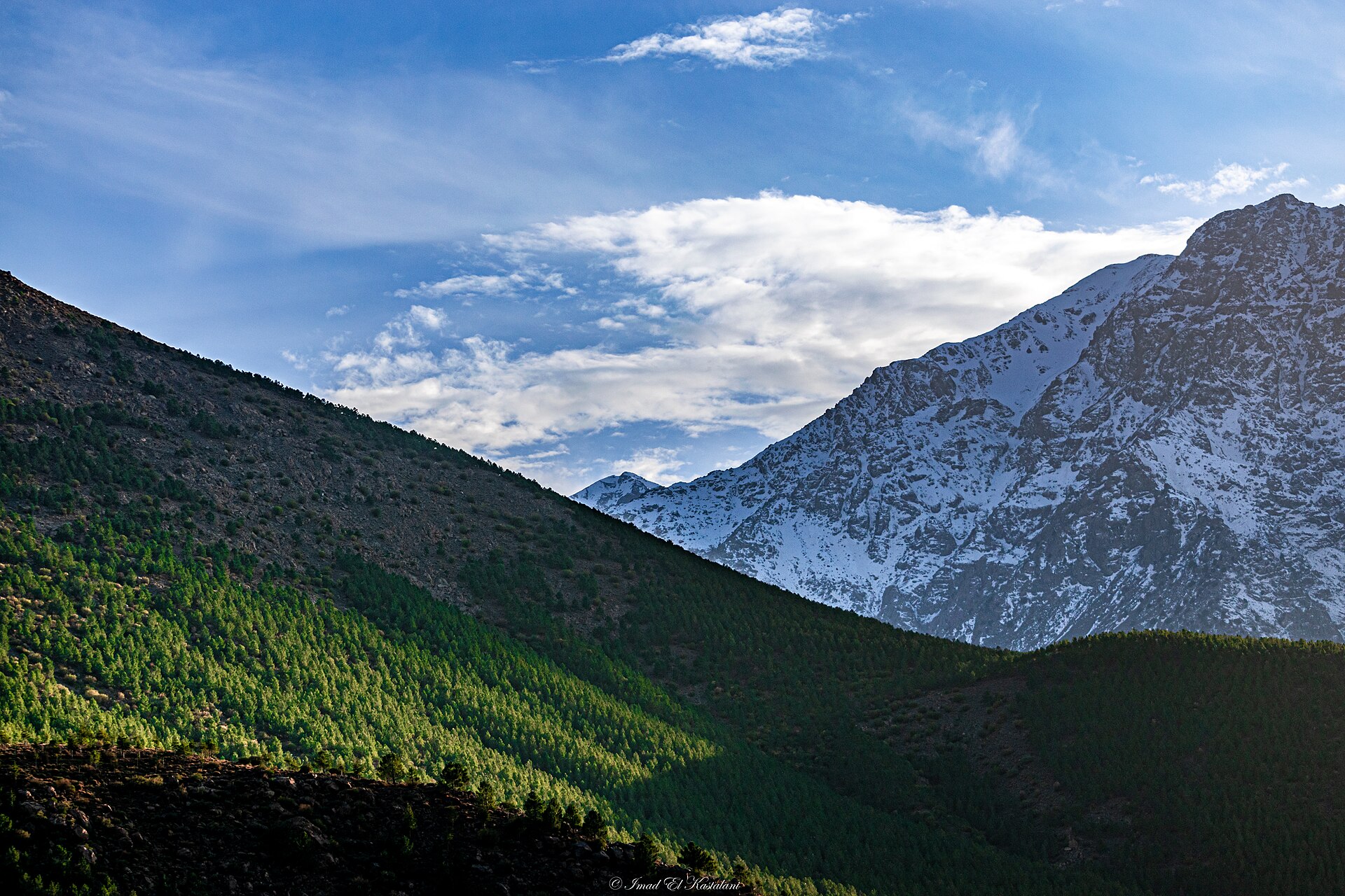
Atlas Mountains seen from Imlil, shown as terrain and place context
Editorial context · Imad.kastalani · CC BY-SA 4.0

Salam from Atlas Mountains

Why the place matters

In the Atlas, weather and terrain join every lesson. They are strict teachers, but very fair ones.

A Moroccan minute

Check the route, kit and turnaround plan. Bravado is surprisingly heavy to carry uphill.

Useful first. Memorable second. Ideally both.

Your learning plan

What a good m’goun geology field learning experience in Atlas Mountains should feel like

Learn to observe a natural system carefully, then explain what you saw without adding a dramatic story for the sake of the holiday album.

The honest outcome

A field note, identification method and better questions for the next landscape.

01

What you should practise

  • Orient to habitat, sky or geology
  • Use a field observation method
  • Record and test an interpretation

02

A sensible session

  1. Site and seasonal briefing
  2. Guided observation with simple tools
  3. Field notes, identification and review

03

Compare before enquiring

  • Guide expertise
  • Seasonal and weather fit
  • Wildlife, landscape and community safeguards

A little Moroccan honesty

Wildlife, stars and geology do not perform to a timetable. A strong experience teaches observation even when the headline sighting does not appear.

Local signals

M’Goun UNESCO Global Geopark · Jurassic · geosite

The place–skill fit is evidenced; provider verification is still open.

M’Goun UNESCO Global Geopark provides a defensible context for learning about deep time, landforms, fossils and dinosaur footprints. The designation is not a provider recommendation or access guarantee.

This skill belongs in Atlas Mountains. We are still checking the right local provider.

A retained field method

The learner should observe and record a first feature before interpretation, test the explanation at a second feature and revise a field note, sketch or annotated photograph.

What to verify

  • Named geosite, visitor centre and protected boundary
  • Current access, permission and transfer
  • Named geologist, educator or competent interpreter
  • Evidence sources and treatment of uncertainty
  • Observation, recording, comparison and revision stages
  • Group ratio, terrain, weather and accessibility
  • No collecting, touching or damaging sensitive material
  • Community permission, local benefit and image rules
  • First aid, insurance and cancellation
  • Explicit alcohol-free route and inclusions

Return to the Atlas Mountains hub, compare interpreted walking, or explore the broader geology field-trip method.

Evidence

Selected references

Official and institutional references used for place, heritage or practical context. Commercial operators and marketplaces are kept in our private research ledger rather than promoted here. Reviewed 14 August 2026.

  1. UNESCO

Continue on GoLearnTo

Related places, skills and field guides